Online Maps
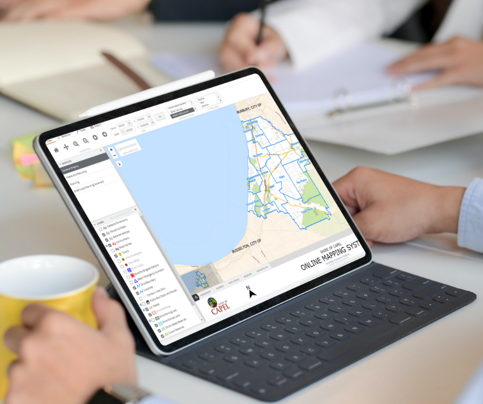
Explore your Shire - find property and planning information, your bin collection day, or view aerial imagery.
Visit Online Maps
How to use Online Maps
It's easier than you think:
Accept the T&C's
Start Searching
Use the tabs at the bottom of the map to guide your search.
Modules
Planning
Current Local Planning Scheme No.8 including Local Structure Plans and property zones.
Go to Planning Module
For more information on Local Planning Schemes Click HERE
Customise Maps
You can customise maps to your needs using modules, layers and searches.
- Modules – select the module you need based on themes
- Layers – show only the map layers you want
- Searches – use our searches to find a property and display property information.
Other things you should know
While every care is taken to ensure the accuracy of the data in this mapping system, the Shire of Capel makes no representations or warranties about its accuracy, completeness or suitability for any particular purpose and disclaims all liability for all expenses, losses, damages and costs which you might incur as a result of the data being inaccurate or incomplete in any way and for any reason.
Landgate information contained on this website is for personal and non-commercial use and is to be used as a guide only. Use for commercial advantage or monetary compensation is strictly prohibited. The Western Australian Land Information Authority (Landgate) takes no responsibility as to the reliability, currency or accuracy of Landgate data contained on this website or any output derived from that data.
The information provided in this mapping system is a guide only and is not to be used for legal purposes. For current property information please refer to the Certificate of Title.